|
|
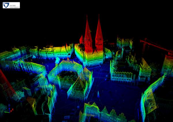
Abstract: The 3D Toolkit provides algorithms and methods to process 3D point clouds. It includes automatic high-accurate registration (6D simultaneous localization and mapping, 6D SLAM) and other tools, e.g., a fast 3D viewer, plane extraction software, etc. Several file formats for the point clouds are natively supported, new formats can be implemented easily. Collaborations and previous developments
Commit code and get your logo here! Contributors |
Informatics VII - Robotics and Telematics, Prof. Dr Andreas Nüchter, andreas (at) nuechti.de, Tel. +49-177-7951270